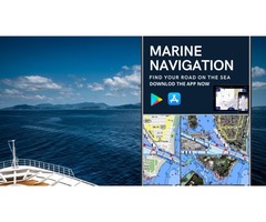
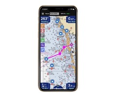
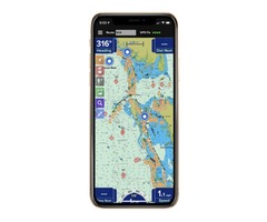
The Marine navigation System provides a sophisticated route charting, planning, and navigational system while you are traveling on the water. These apps allow you to accurately check out your on-water positioning and minimize the risks of getting lost in the sea.
This app has a GPS tracking feature that can help you if you lost your way. Whether youre a fisherman, weekend cruiser, sailor, jet-skier, or an offshore captain, if you need to find an exact location hundreds of miles offshore, PRO CHARTS will help you to find the right path. It Includes High Standard satellite, Road, Hybrid maps, NOAA nautical charts navigational features and many more.


 Loading


